About
The “Sacri lapides Aegypti” project aims to study and document the processes of transformation of sacred spaces for worship, identity and memory from Pharaonic and Ptolemaic-Roman Egypt to Christian Egypt through topographical-functional analysis and the creation of a general catalogue, in digital form, of the temple structures transformed into Christian places used for the production and preservation of books, as well as their cultic function.
“Sacri lapides Aegypti” is therefore the conceptual premise and the archaeological deepening of the ERC project “PAThs”, whose aim is to define a geography of Coptic manuscript production through the creation of a digital atlas, searchable thematically and chronologically.
goals
“Sacri lapides” means to weld the history of the Coptic literary production to the Pharaonic and Ptolemaic-Roman past, lending practical substance to the understanding of the spread of new Christian cultural centres, which, similarly to the Pharaonic ones, are never severed from their places of worship.
In the light of such awareness – the intimate connection between place of worship and place of production and storage of the culture – we mean to create a fully original research tool, which will serve Egyptologists as well as archaeologists and Late Antique scholars, namely an exhaustive digital catalogue of selection of the heathen shrines converted into Christian religious and cultural centers.
Methodology
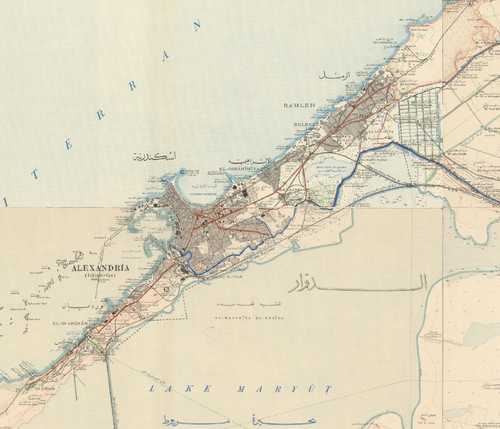
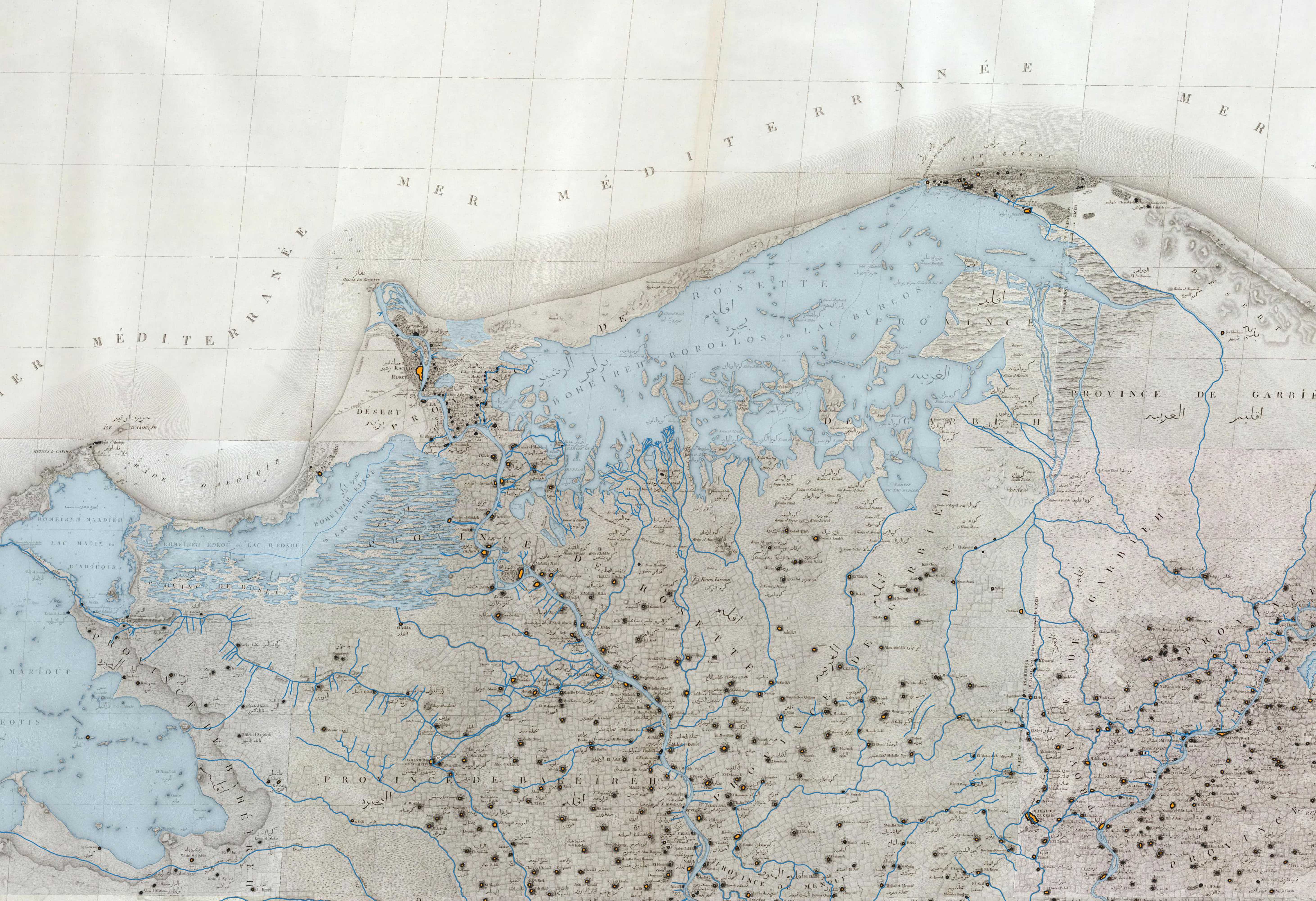
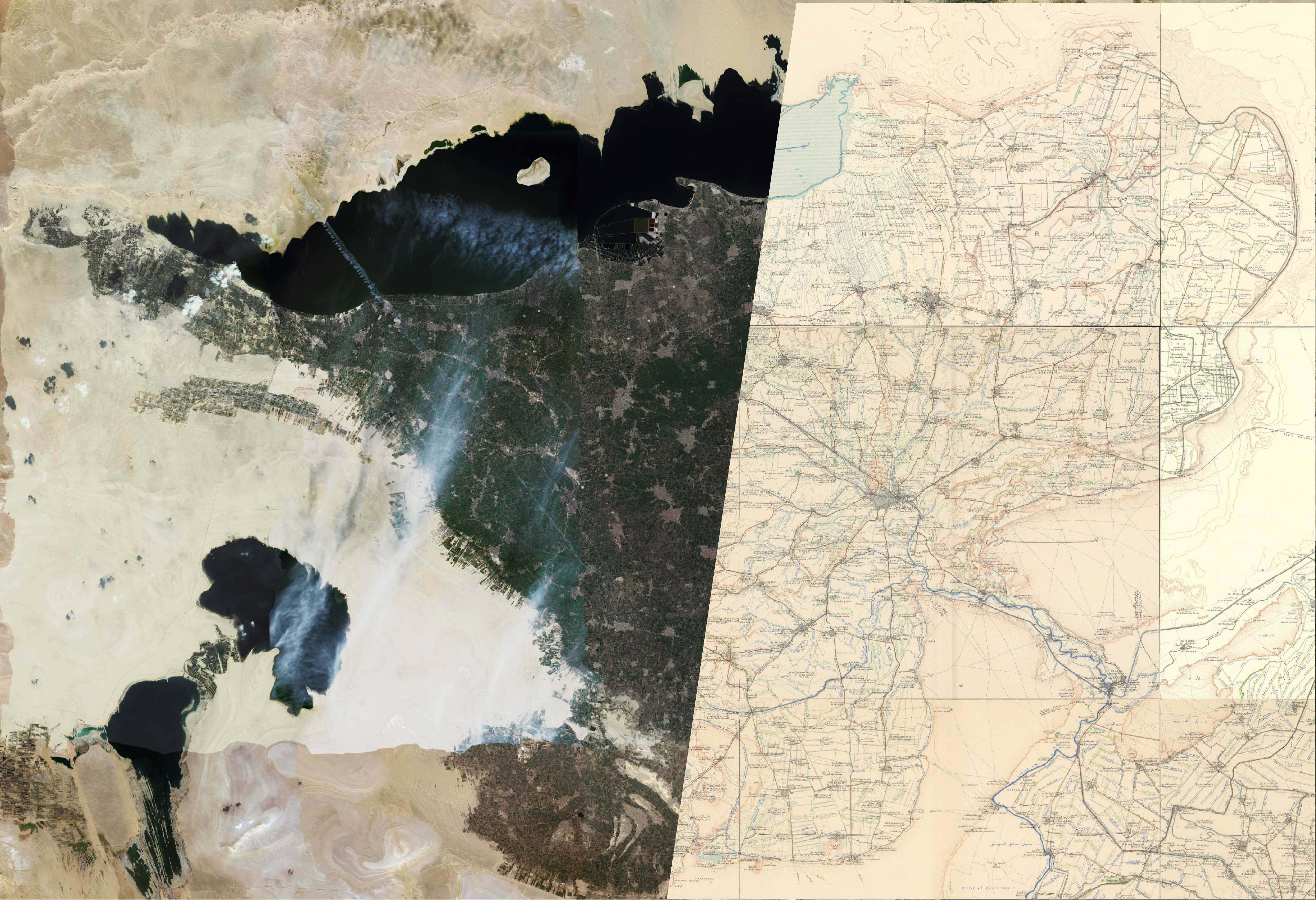
Collection and georeferencing on GIS platform of several and diverse historical historical cartographical sources of Egypt and site-level topographical surveys of the main temples, churches, basilicas and other religious complexes.
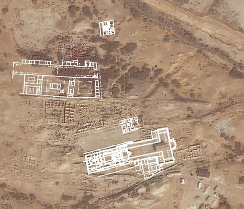
Vectorization of geo-referenced plants on GIS platform using a protocol (SPV) developed by “PAThs” team members.
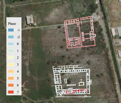
Proposal of chronological phases, reconstruction hypothesis, etc., which can be easily encoded with the help of minimal and highly intuitive vocabularies and visualised on the Web.
Archaeological sites
The archaeological sites analysed and described by “Sacri lapides ” have been selected on the basis of rigorous criteria, such as the reliability of literary and documentary sources and of scientific archaeological reports. Particular attention has been dedicated to collecting maps and images of the relevant monuments, in order to “map” topographical, functional and religious changes.

Settlement | Western Delta
Introduction The site is located at the western edge of Nile River delta, along the coast of the Mediterranean Sea, extending about 32 km. It was connected to the Lake Mareotis (Maryut Lake) though a…
Read More...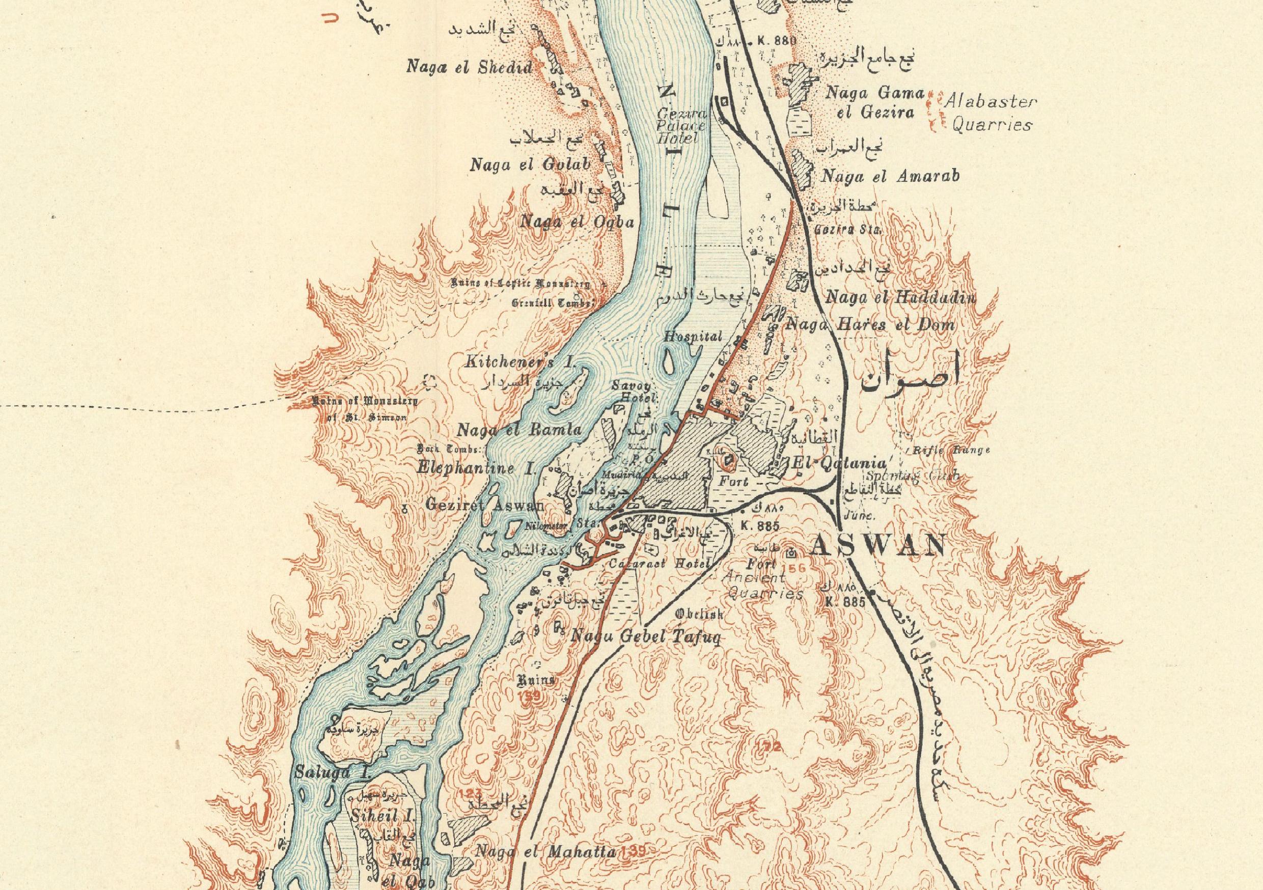
Settlement | Upper Egypt
Introduction Aswan (Syene) is located on the east bank of the Nile, at the First Cataract, so it can be considered a frontier town that nowadays, as in antiquity, marks the southern border of Egypt…
Read More...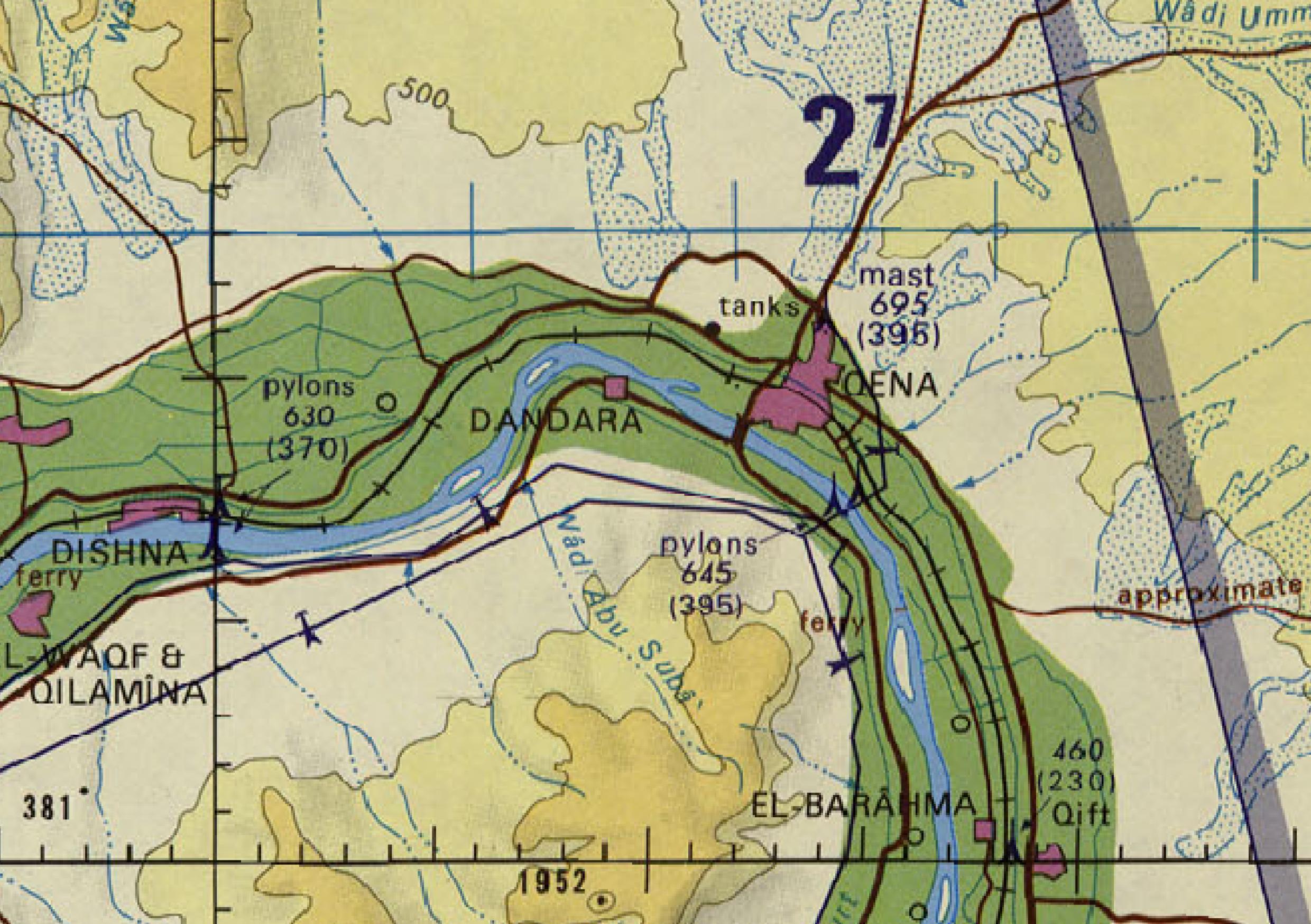
Settlement | Upper Egypt
Introduction The site of Dendera is located 4 km south of the provincial capital at Qena, at the great bend in the Nile, and about 70 km north of Luxor, on the west side of the river. The site is…
Read More...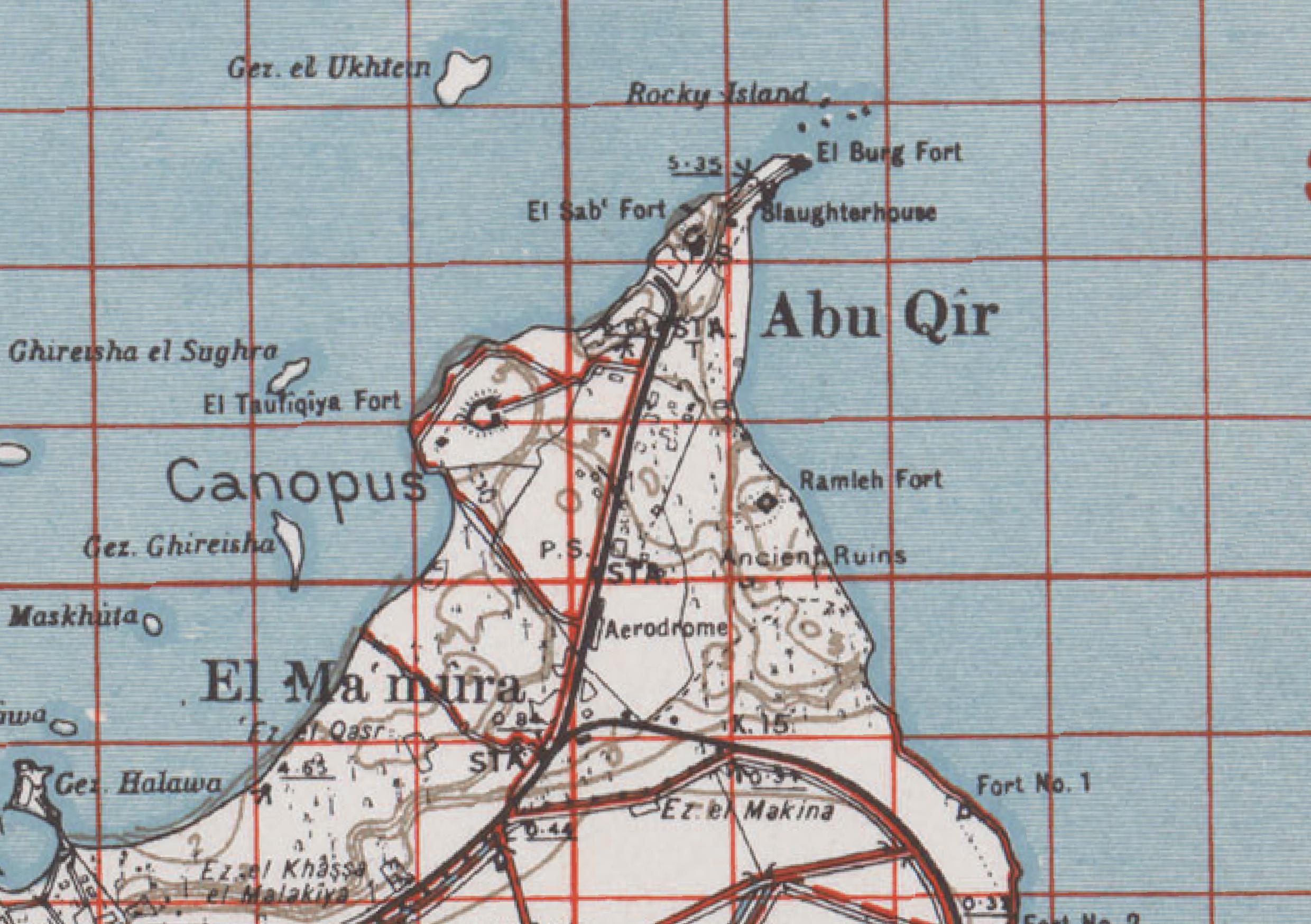
Settlement | Western Delta
Introduction The site of East Canopus was in a submerged area 1,8 km from the modern port of Aboukir, placed in the region extended westward from the mouth of the western branch of Nile called Canopic…
Read More...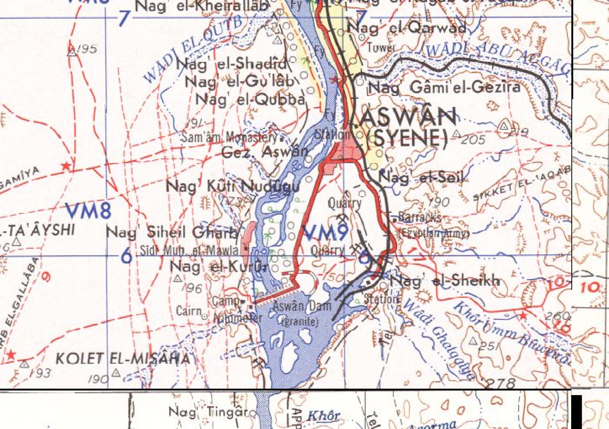
Settlement | Southern Upper Egypt
Introduction Elephantine is an island in the Nile, with a small land extension (1.5 km north-south, 0.5 km east-west), which over the centuries has played an important strategic role, thanks to its…
Read More...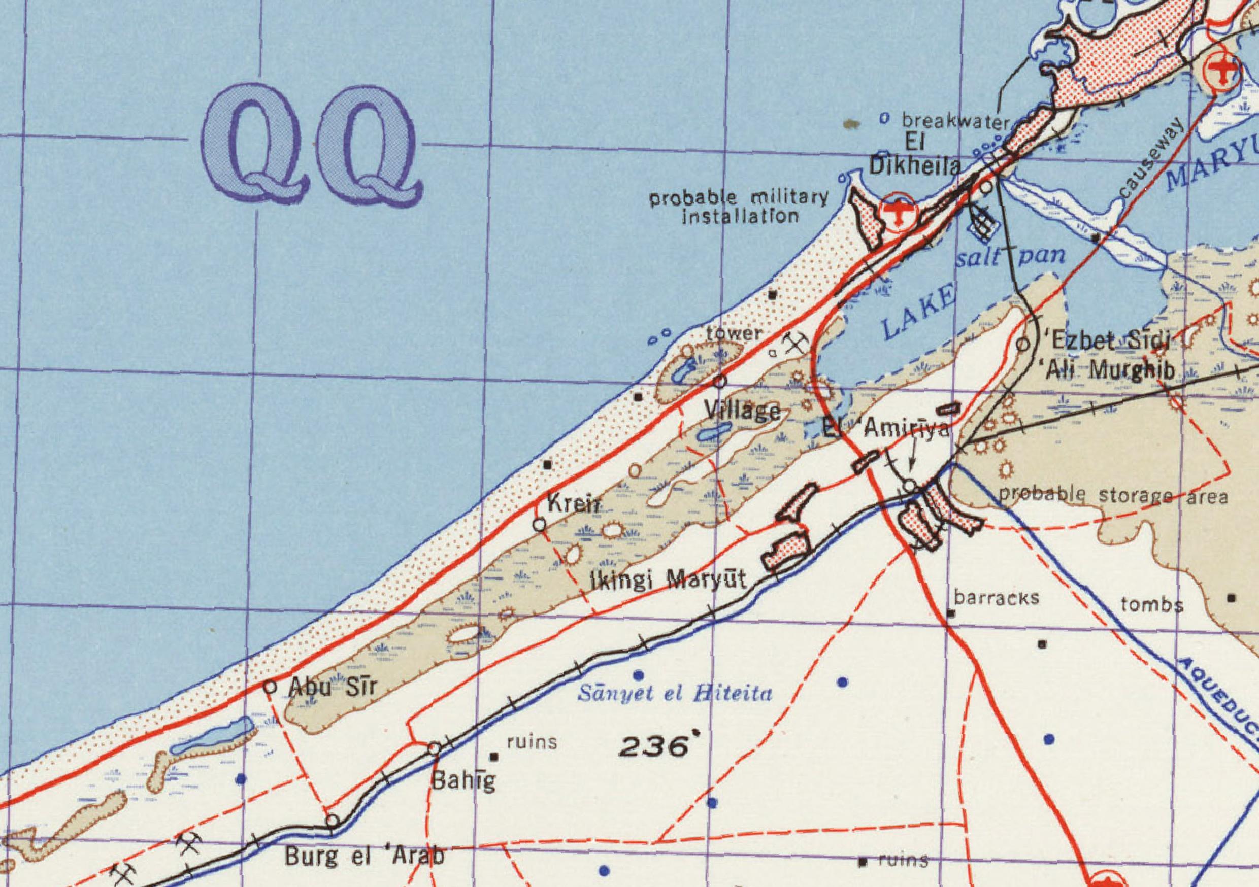
Settlement | Western Delta
Intoduction The archaeological site of Marea is located 45 km to the southwest of Alexandria, on the southern shore of a narrow outlet of the Mareotis lake extending westward at this point (fig.…
Read More...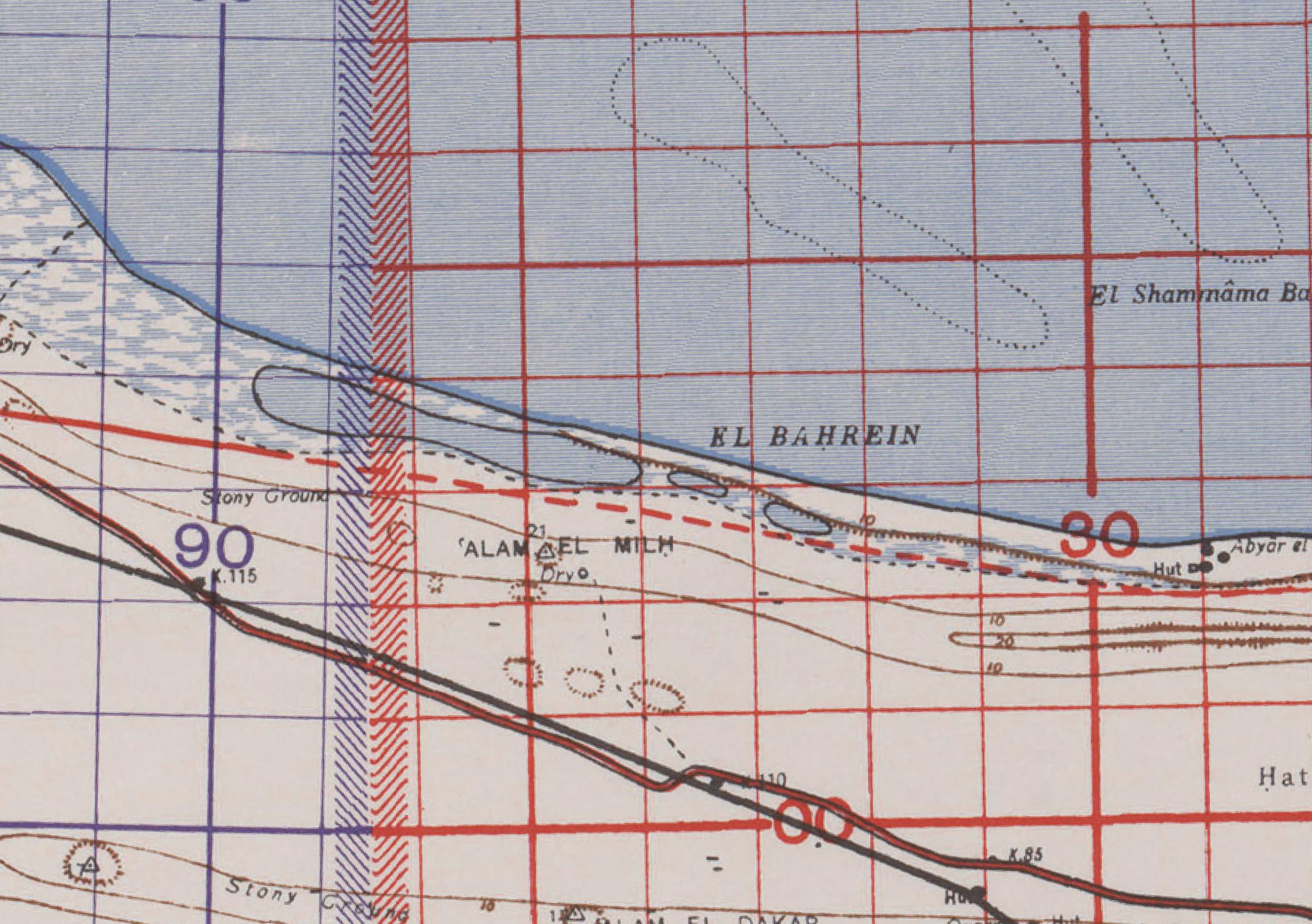
Settlement; Harbour | Western Delta
Introduction The ancient town on the Mediterranean coast of Egypt, located about 96 km west of Alexandria, 40 km west of Taposiris Magna (Abu Sir) and 185 km east of Paraetonium (Marsa Matruh), near…
Read More...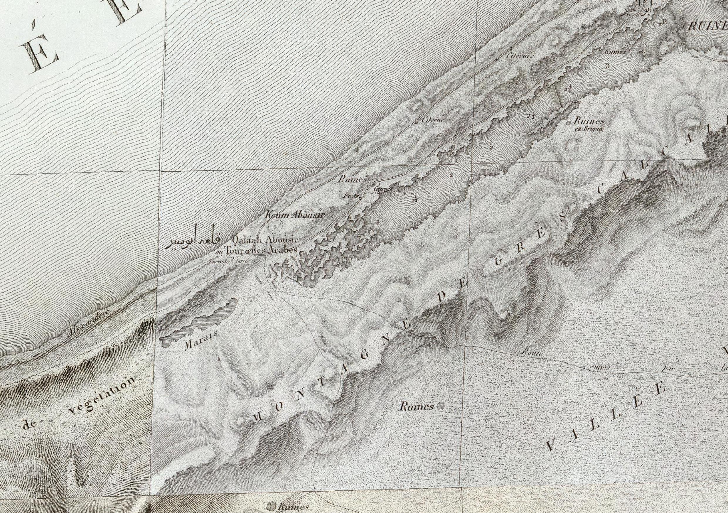
Settlement, Harbour | Western Coast
Introduction Located 45 km west of Alexandria, the settlement of Taposiris Magna is situated on the northern shore of Lake Mareotis (known today as Mallahet Maryut), on the slopes of the narrow…
Read More...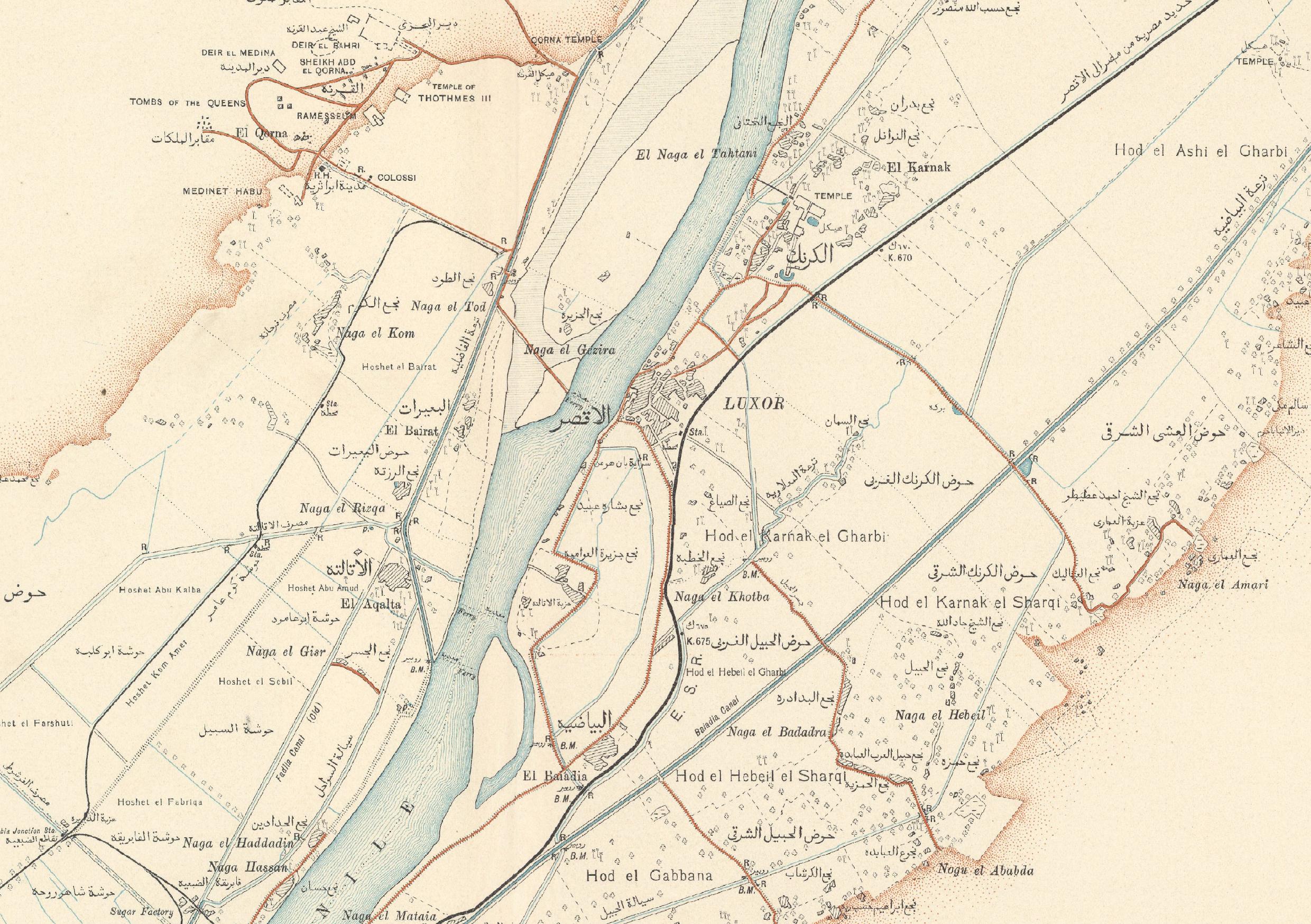
Settlement | Eastern Thebes and Western Thebes
Introduction Located in the 4th nomos of Upper Egypt, not far from Hermonthis and Coptos, Thebes developed into two settlements on the banks of the Nile that, although in fact separate and with…
Read More...